LANDS DESIGN FEATURES

PROJECT SETUP
Use all CAD and drafting tools required to produce 2D/3D architectural drawings, construction details and any kind of annotations.

TERRAIN
Create terrains from contours, elevation curves or point clouds. Terrains can be also imported from the web. Lands includes tools to modify terrains.

HARDSCAPE
Hardscape refers to the solid, hard elements in landscape design that stay the same for years. Retaining walls, fences, stairs and driveways.

VEGETATION
Lands provides a plant database with more than 1800 species, with technical specifications, detail characteristics and customizable display modes in 3D and 2D.

IRRIGATION
It provides instruments to design your irrigation system by a network of pipes, outlets and customized components that can be scheduled.

DOCUMENTATION
Generate setting out 2D plans from the 3D model, plant schedules, areas, irrigation plans, labels, automatic dimensions.

VISUALIZATION
Get real images to show to your clients, from Lands Design or through some render engine. Virtual tours and walk mode available.

DESIGN AUTOMATION
Lands Design works with the Grasshopper visual programming language.

COLLABORATION
Software designed to help people involved in a common task to achieve their goals.
PROJECT SET UP
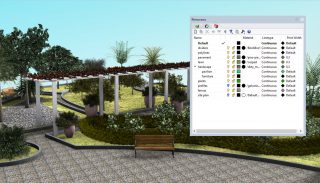
Organize the Project by Layers
This feature enables you to organize the landscape plan elements in different layers in order to modify them easier, adjust their visibility, create different plans, etc.
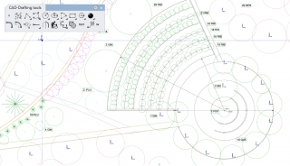
Design with 2D Drafting Tools
2D drafting tools are simple drawing entities (lines, circles, arcs, polygons, ellipses, etc.). They enable you to draw the preliminary design lines quickly.
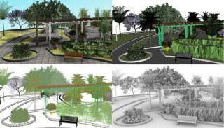
Customize Workspace Appearance
The users can customize the workspace to present their designs with different display modes.
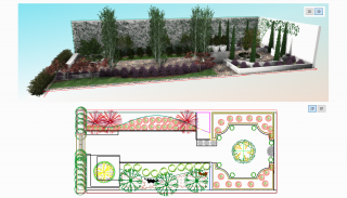
Switch between 2D/3D
This feature allows you to switch the project display between 2D and 3D with a single click of a button.
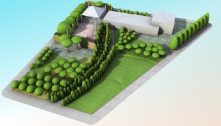
Change the Plants Representation
Choose between four plant representations: elevations, conceptual, detailed and realistic.
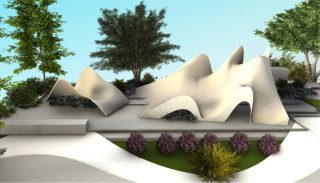
Freeform Modeling (Only in Rhino)
With Lands Design for Rhino the landscape architects can create very sophisticated models.
TERRAIN
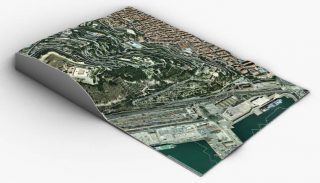
Import Terrain Data Model (DEM file)
It enables you to obtain the complete, modeled 3D terrain with its contour curves, importing it from a satellite map. It has never been so easy.

Create Terrain from Points and Curves
This feature enables you to create and modify a terrain by having only 3D curves or elevation points as data.
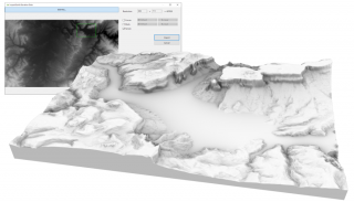
Import Digital Elevation Model (DEM file)
You can import DEM files to analyze and assess the characteristics of the landscape.
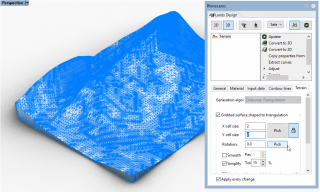
Change the Terrain Properties
Once the terrain is built, you can adjust it to the project needs by simply changing its properties from the edit panel.

Pick/Delete Boundaries
By means of a closed curve you can cut a terrain to obtain the exact surface of the area of your site.
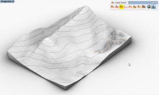
Add New Contour
This feature enables you to quickly modify the terrain topography by adding contour curves or 3D points.
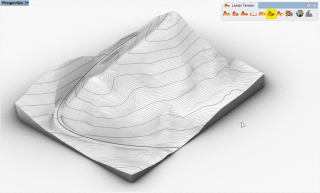
Add Terrain Path
Just by specifying a width, a slope angle and a curve, you can project a route or path over the terrain under study.
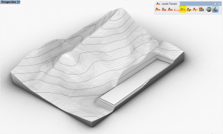
Cut and Fill
This feature enables you to model and define a new morphology of the terrain, by means of earth moving (cut and fill, and banks).
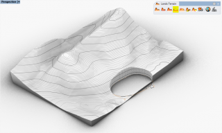
Add Hole
This feature enables you to create holes for swimming pools, lakes, etc. on a terrain by simply selecting a closed curve.
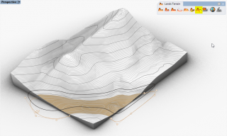
Divide the Terrain
This feature enables you to divide the terrain to generate different sectors and uses, according to the guiding idea that governs the project.
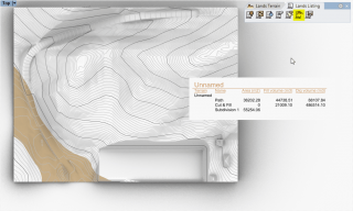
List the Earthmoving Operations
The designer can automatically generate a list of actions undertaken on the terrain: divisions, holes, cut and fills, and banks.
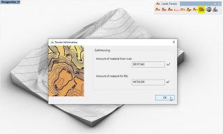
Calculate Volume of Earthmoving
This feature enables you to quantify the volumes of soil in both fills and cuts and banks, simply by selecting the terrain.

Adjust the Objects to Terrain
The vegetation and other elements of the project detect the terrain and are placed automatically over its surface.
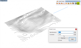
Elevate Curves
Indicate the elevation distance of a series of curves and Lands Design easily generates the corresponding terrain.
HARDSCAPE
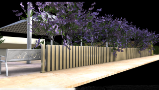
Add Parametric Fences
With this feature you can create fences to enclose spaces or simply decorative fences with an infinite number of possible designs.
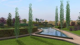
Wall Tool
Lands Design enables you to create curved or straight walls, kerbs and hedges to decorate garden areas or define the project boundary.
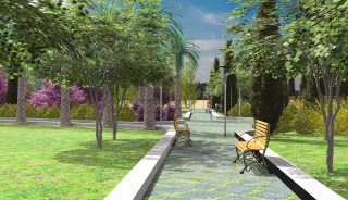
Add Paths
This feature enables you to quickly create the paths and trails that connect the different parts of a project.
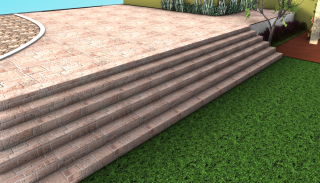
Add Parametric Stairs
This feature enables you to create curved or straight parametric stairs that define the vertical circulations of the design.
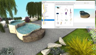
Add Blocks
Lands Design enables you to insert urban furniture models from the Lands Design library or blocks of multiple file formats for your project.
© Copyright 2000-2025 COGITO SOFTWARE CO.,LTD. All rights reserved. 京ICP备09015132号-52