
RhinoTerrain
A powerful Digital Terrain Modeler
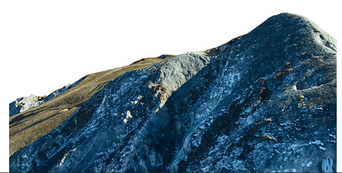
The creation of a Digital Terrain Model (DTM) is a fundamental step in any study and development project.
RhinoTerrain™ offers all the functionalities necessary to anyone interested in 3D visualization of Digital Elevation Models:
- Efficient computation
- Perfect geometry and topology
- Optimization of raw data
- Edition and analysis of created models
NEW, ROBUST AND RELIABLE
Based on a completely new, robust and reliable constrained triangulation algorithm, RhinoTerrain™ is able to process very large data volumes.
The computation of a Digital terrain Model (DTM) can be performed on clouds of tens of millions of points from terrestrial scanners or LIDAR aerial lasers surveys and include an unlimited number of break lines.
A SET OF POWERFUL FEATURES
Import / Export
- ArcInfo ASCII, USGS DEM, Japanese DEM
- SRTM data in HGT format
- ESRI ShapeFile
- GeoTiff elevation
- DEM from JPGIS GML files
- XYZ ASCII file
- LAS file (.las /.laz)
- Laser formats : Leica Cyclone (.pts), Topcon (.cl3)
- LandXML
- Raster of elevation
Create
- Powerful triangulation computation
- Use tens of millions of points
- Use of an unlimited number of break lines
- Create from closed curves
- Manage coordinate systems
Edit
- Control, add and edit break lines
- Inverse and unify normals
- Delimitate
- Decimate
- Smooth
- Project curves on mesh
- Extract from closed curves
- Cut by objects or curves
- Boolean operations difference and union
- Simplify and align 3D curves
- Offset 3D curves
Analyze
- Color slope or altitude
- Viewshed analysis
- Compute area and volume
- Create and annotate contour lines
- Prepare for 3D printing
Point Cloud
- Extract from mesh
- Compute positive Z normals
- Compute and propagate normals
- Color slope or altitude
- Orthophotography draping
- Cut by plan, by region or by windows
- Compute "KeyPoint" model
- Decimate
- Extract from closed curves
Imagery
- Orthophotography draping
- Resampling
- Tiling
FOR INCREASED PRODUCTIVITY
COMPUTING POWER
Optimal use of multicore processors and double precision calculations
GEOMETRIC ANALYSIS
Point cloud processing and optimization, editing and analysis of DTMs
ORTHOPHOTOS DRAPING
Manipulation of ECW tiles and orthophotography draping